
Trace Monterey Park Street History
A reliable address search starts with the physical location, but the first result is usually a parcel record rather than a person. In Monterey Park, the Los Angeles County Assessor Portal can turn a standardized situs address into an Assessor Identification Number, or AIN. The county eGIS map then lets a researcher check the parcel shape and nearby lots. Because the public web portal may suppress owner names, the AIN and legal-description clues become the bridge to a lawful owner inquiry. From there, the county deed index, the voter self-check, and the library's reverse directories answer different questions.
- Start with the address. Enter the street number and name in the Los Angeles County Assessor Property Search. Save the AIN, standardized situs, tract or lot clues, transfer indicators, and any matching parcel results.
- Check the map. Open the Assessor GIS viewer, zoom to the location, click the subject polygon, and record the AIN. Condominiums and multi-parcel sites may produce more than one result, so confirm the shape and address before moving on.
- Bridge the parcel to an owner. The web search is built around address and AIN facts, and owner names may not appear online. Use the Assessor's specific-property channel or a lawful counter inquiry for the exact property, not a bulk name harvest.
- Move from owner to deed. The Los Angeles County Registrar-Recorder/County Clerk, or RR/CC, indexes real-estate instruments by grantor, grantee, and recording year. Give the office the party name, likely year, document type, or later document number so the index can be searched.
- Test the name through voter verification. LA County's self-check requires last name, birthdate, house number, and ZIP Code. It confirms the supplied voter's status; it does not expose everyone registered along the street.
- Add the historical household layer. Use Bruggemeyer Library's city directories and any reverse or criss-cross section to compare names and numbered addresses across years. A listing is evidence of publication-era presence, not proof of title or a complete household.
The sequence matters. An owner, a person who receives mail, a permit applicant, a registered voter, and a listed occupant can be different people. A street-by-street record trail keeps those roles separate, writes down the date of each search, and carries forward the AIN or legal description when a name or address changes.
Monterey Park Street Records
Address-keyed sources overlap, but none is a complete residents roll. The assessor identifies land and tax facts. GIS supplies parcel geometry. RR/CC supplies recorded instruments after a party-and-year search. Monterey Park departments hold permits and code records, while the voter tool is a private self-verification route with a separate restricted file process. Bruggemeyer Library adds the older names and addresses that modern parcel systems do not preserve.
| Record Set | Keeper | What It Shows | Access |
|---|---|---|---|
| Parcel roll | Los Angeles County Assessor | AIN, situs, values, characteristics, transfer and exemption clues | Free web search; expanded lawful property route |
| GIS parcel map | Assessor eGIS | Parcel boundaries, adjacent AINs, map layers and situs details | Free interactive click map |
| Deeds and liens | Los Angeles County RR/CC | Grantors, grantees, legal description, recording event and document references | Counter or mail index search; paid copies |
| Tax bill | Treasurer and Tax Collector | AIN, tax amount, payment or delinquency status | AIN/PIN portal and request route |
| Permits and inspections | Monterey Park Building and Safety | Project, applicant, contractor, issue, inspection and final status | Online from October 1997; older counter records |
| Code records | Monterey Park Code Compliance | Complaints, inspections, notices, responsible party and resolution | Exact-address request with permitted redactions |
| Voter verification | LA County Registrar-Recorder/County Clerk | Status for one supplied person and address combination | Free self-check; files restricted by purpose |
| Reverse directory | Bruggemeyer Library | Published occupant or business name tied to a historic address | Appointment-only Local History Room |
The AIN is the useful tie point between the parcel roll, GIS, tax bill, permits, and a later deed request. The street name helps organize the work, but it is not RR/CC's index key and it does not turn the voter tool into a browseable street list. Keep a source log with the address spelling, AIN, party role, year, and record date.
Monterey Park Assessor Records
The county property search exposes a small set of meaningful modes. Basic or address search is useful when the street is known. AIN search is stronger when a tax bill, deed, map, or permit supplies the number. Legal Search and Map Search can help resolve a parcel when the street text is incomplete. The public portal is free, but it is not a ZIP-wide or name-wide resident export, and owner names may be suppressed under county policy.
The official Assessor property-search guidance explains the address and AIN route used for a parcel inquiry. The captured interface shows the fields that should be copied before a deed or permit search:
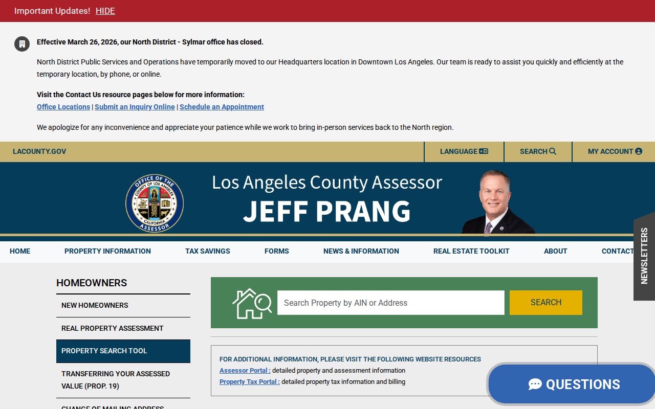
Those field choices keep a Monterey Park address search tied to a real parcel instead of a guessed name. The image is a portal aid, not evidence that a particular person occupies a property.
| Field | Type | Required | Record or limitation |
|---|---|---|---|
| Property Address | Text or autocomplete | One search mode | Street number and name; city or ZIP may refine the match |
| AIN | Number or text | One search mode | Ten-digit Assessor Identification Number, often shown with hyphens |
| Map browse | Interactive GIS | Optional | Pan, zoom, select a polygon, and compare adjacent AINs |
| Search or Clear | Buttons | Action | Run the current variant or reset before a new address |
When the web result does not show an owner, the research route remains specific-property access. The county lists 213-974-2111 and 888-807-2111 option 6 for assessor help, along with an office visit or the Specific Property contact channel using the complete address or AIN. That route is for a defined parcel. It does not authorize harvesting owner names across Monterey Park.
Browse Monterey Park Street Parcels
The eGIS viewer is the street-browse tool. Search an address or AIN, zoom until parcel lines are clear, click the subject polygon, and write down the AIN and situs details. Then close or shift the identify panel and click each touching or nearby polygon one at a time. This makes a hand-built list of adjacent parcels for later source checks. Aerial imagery and basemaps orient the eye, but they do not identify the people at a house.
The Los Angeles County parcel map shows why a whole block cannot be treated as one record. Parcels can have different shapes, uses, create dates, and legal descriptions. Other layers may show a city, tax-rate area, zoning, or district, yet the public ArcGIS parcel layer exposes parcel and situs fields rather than an owner field.
The GIS screen is especially useful when a street has a bend, an alley, a unit suffix, or a parcel that does not line up neatly with the visible building. Preserve the map result and the AIN, then switch to the record keeper that answers the next question. Do not infer a household from a parcel color, building footprint, or mailing mismatch.
The GIS viewer screenshot at the Assessor map service illustrates the click-and-check method used for Monterey Park parcels.
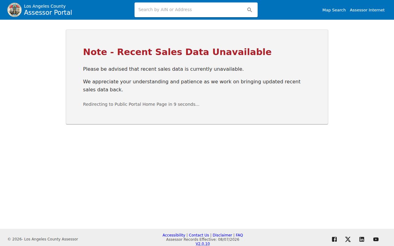
After the map is read, the adjacent AIN list can be checked against tax, deed, permit, and historical sources one parcel at a time.
Terms for Monterey Park Parcel Records
Street research gets muddy when a physical location, a tax mailing point, and a legal land description are treated as synonyms. These terms keep the chain precise. A parcel may contain one building, several units, or a shape that does not match the visible structure. The role of each address in a source should be copied exactly.
- Parcel
- A mapped piece of land recognized by the assessor for tax purposes. The AIN identifies the parcel, not a person and not always one household.
- Situs address
- The physical location assigned to the land or building. It is the address used to locate a property, not necessarily the place where mail is sent.
- Mailing address
- The destination for tax or other correspondence. It can differ from the situs and does not, by itself, prove occupancy or ownership.
- Legal description
- The land identity used in a deed or map, often with tract, lot, and block clues. It controls when street text is changed or incomplete.
- Plat
- A recorded map that lays out lots, blocks, streets, or easements. A plat can explain how a subdivision created several parcels from an older tract.
- Criss-cross directory
- A reverse directory arranged by street and number rather than only by surname. It can connect a published name to an address for its edition year.
These definitions matter because a Monterey Park street directory result is a research lead. A legal description can continue a chain when a street name shifts, while a mailing address can simply reflect correspondence handled by an agent or another authorized recipient.
Monterey Park Deed Records Insider Tip
Insider tip: Save the owner name, likely recording year, AIN, legal description, and any document number before opening the recorder request. RR/CC records since 1850 are indexed by grantor, grantee, and recording year. A later deed, tax record, or counter inquiry can supply the party name that the recorder needs. The recorder cannot search the public index by a Monterey Park street address.
The RR/CC real-estate records request route supports several channels after the index facts are known. Search and copy service is available at Room 2207, 8 a.m. to 5 p.m. Monday through Friday except holidays. Mail goes to the Real Estate Records Section, P.O. Box 1130, Norwalk, California 90651-1130. An online copy order or fax request can follow identification of the instrument. The main office is 12400 Imperial Highway, Norwalk, California 90650, and the recorder line is 800-201-8999, option 3 for recorded real-estate records.
Published charges include a plain copy at $5 for the first page and $3 for each added page, a certified copy at $6 for the first page and $3 for each added page, and a manual search charge of $0.50 per name and year with a $1 minimum. Counter card payment carries a $1.75 handling or service fee. The exact order should name the instrument, not ask the office to select pages or guess an address index.
Monterey Park Street Directory Myth
Myth: a recorded deed can be found by typing a street address into a county web database. Los Angeles County's official real-estate FAQ says the public property-record index is not online. Recorded instruments are filed under party names and recording years, and RR/CC says it cannot search by street address. The deed image may contain a legal description and a return-to address, but those facts appear after the right instrument has been identified.
This is why the parcel-to-owner-to-party bridge is the heart of the search. Use the recorder's indexing explanation to confirm the grantor and grantee roles, then search spelling variants, prior surnames, spouses, trusts, or entities separately. A deed of trust or refinance document is not automatically a sale, and a name match alone does not prove that the person lived at the situs.
The county collection reaches back to 1850, but the precise image-conversion cutoff was not published. Older books, microfilm, modern images, and later cross-references may require different handling. A careful record trail notes what was checked and what remains unavailable instead of turning an incomplete result into a claim.
Monterey Park Permit Records
Building and Safety records add a time layer to a street. Useful fields include the property address, permit number, parcel or AIN, project description, applicant or contractor, issue date, inspection history, final date, and status. A permit applicant is a project participant, not automatic proof of who occupied the building. Older plans, paper files, and records with copyright or security limits may need a focused request and an authorization from the owner or design professional.
The Monterey Park Building and Safety page is the city starting point for local permit records. It identifies the department and counter route. The public Building Citizen Access search covers October 1997 to the present, while earlier records are handled at the Building and Safety counter.
The city Building and Safety page shows the department path that frames the address record:
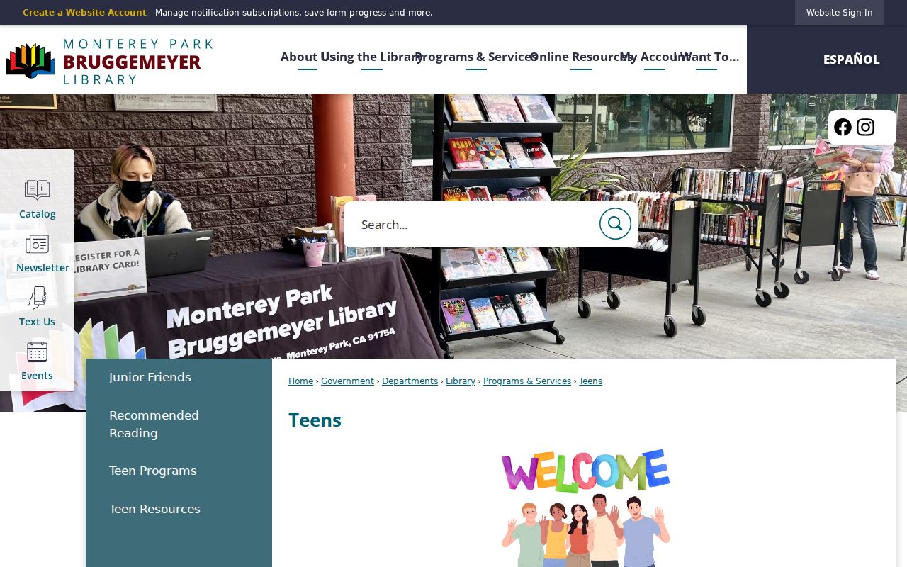
That route is useful for locating the office and its records, especially when a web result is too thin to date an alteration. The online search adds more precise filters:
The Monterey Park Building Citizen Access portal accepts record number, record type, project name, date range, license type, state license number, professional name or business, business-license number, street number, direction, street name, street type, and parcel number. Its record types include residential and nonresidential additions, alterations, repairs, demolition, new buildings, pools or spas, solar, and certificates of occupancy, with signs in the nonresidential group. The direction choices include E, N, NE, NW, S, SE, SW, and W; street types include AVE, BLVD, CIR, CT, DR, LN, PL, RD, ST, TER, and WY.
The portal view makes clear that a street search can be narrowed by record type and date, but it still reports project records rather than a household list. Code Compliance requests work in a similar address-first way: give the exact address and date span for complaints, inspection dates, notices, responsible owner or agent, and resolution. Privacy, investigation, and complainant-safety redactions can limit what is released. The city's public-record request route is the fallback when the direct search does not hold the needed file.
Monterey Park Reverse Directories
Modern parcel records are strongest for land. Bruggemeyer Library's Local History Room is stronger for the names that appeared in a particular era. The collection includes Monterey Park City Directories, 181 bound items, three cabinets of microfilm, local newspapers, Mark Keppel High School yearbooks, photographs, oral histories, scrapbooks, and City Council minutes from 1916 through 2011. Physical research is by appointment through Reference at 318 S. Ramona Avenue, with the Reference Desk at 626-307-1368. Published hours are Monday and Tuesday noon to 8, and Wednesday through Saturday 10 to 6.
Ask the Local History Room staff for the city-directory shelf list. The official page names the collection but does not publish a complete year-by-year publisher inventory. A 1930 to 1931 Alhambra directory listed by NARA includes Monterey Park, along with nearby communities, so a catalog search limited to the city name can miss a useful volume.
Inspect the alphabetic entry first, copy the name, initials, occupation, spouse or widow notation, street address, business address, and any owner or occupant symbol, then look for a reverse section. Abbreviations change by publisher, so use the volume's key. Pair a directory year with the 1930, 1940, or 1950 census when the geography aligns. The city directory page carries the historical collection discussion, while the street record chain remains focused on current address-keyed sources.
A printed street directory can show a listed name without showing title. It can also omit a household, skip an edition, or file the city under an adjacent geographic title. A disappearance may mean a move, death, name change, or a missed volume. Newspapers such as the Monterey Park Progress, Cascades, Journal, Comet, Los Angeles Times, Alhambra Post Advocate, International News Daily, and China News Daily can help explain the gap.
Monterey Park Voter Records Limits
The LA County voter-registration verification form is a self-check, not a browseable street roll. It requires Last Name, Birthdate, House Number, and ZIP Code. A match confirms the supplied combination and may route to election information. A non-match calls for spelling, prior address, registration, and county checks, not a conclusion that a person is absent from a street.
Full voter and street files use a separate controlled process. LA County requires an applicant's identity and contact information, the requested geography or file, output method, purpose category, signed use contract or certification, and payment. Permitted purposes include election, scholarly, journalistic, political, or governmental work. The county's street index is not a general neighbors directory, and voter address, contact, identification, and signature data have statutory protection under Elections Code sections 2188 and 2194 and Government Code section 7924.000.
Published file examples include $146 for a countywide file, $54 for a precinct, district, or city file, and $39 for an additional file. Street Index pricing and access also vary by permitted applicant, with a contract and purpose certification. The route runs through Election Information on the second floor, Room 2013, at 12400 Imperial Highway, Norwalk, with 800-815-2666 option 4. Those restrictions keep a street directory search from becoming an unauthorized identity list.
Note: Voter verification tests one supplied person and address combination; it cannot establish every registered voter along a Monterey Park street.
Monterey Park Street Record Continuity
Subdivisions, annexations, standardized street names, suites, and parcel changes can split one address history across several text forms. No official citywide street-renumbering year was verified in the research, so a specific year should not be inserted into a search narrative. Instead, keep every old and new number found in a permit, deed, map, directory, or city record and compare the AIN, tract, lot, and legal description.
Monterey Park treats the official building address as the building's record identifier. A multi-unit building keeps one base number and distinguishes units or suites. An approved address change, handled through the City Engineer, sends notice to roughly a dozen record agencies and moves records from the old number to the new one. Demolition can eliminate the address and permit folder because retention follows the building's lifetime. Pre-computer applicant errors also created stray permit folders.
The city's address and building guidance supports a continuity check based on parcel and legal-description facts. This is more reliable than assuming that an old directory line and a modern street line describe the same structure. When a subdivision creates multiple parcels, follow each AIN separately and label the point where the chain branches.
Check Monterey Park Tax Records
A property-tax bill is a useful cross-check after an address has been tied to an AIN. It can show the parcel identifier, tax amount, payment or delinquency status, and correspondence details. It does not turn the Treasurer and Tax Collector into an occupant directory. Tax facts should be compared with the assessor roll and deed record, especially when a mailing address differs from the physical situs.
The Los Angeles County Treasurer and Tax Collector duplicate-bill route shows the kind of tax service that can be used after the parcel is identified.
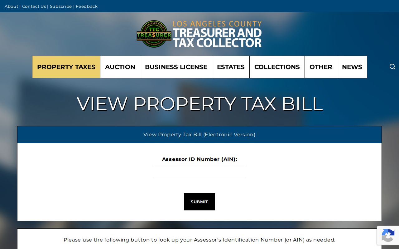
Use the tax result as a parcel check, not as a shortcut to a person's identity. An exemption is a tax-status clue, and a mailing address is a correspondence destination. Neither one proves who is present at the Monterey Park situs.
What Monterey Park Street Directory Cannot Show
Address records do not reveal every person connected with a building. They may omit unlisted household members, private contact details, protected participants, utility customers, and any person whose information is withheld by a custodian. DMV personal data is restricted by the Driver's Privacy Protection Act, 18 U.S.C. sections 2721 through 2725. Safe at Home participants also require address-confidential handling, and public availability of one record does not erase those limits.
Ownership, mail receipt, permit participation, voter registration, and historical listing are separate roles. A street directory result is therefore a set of dated clues, not a final statement about a person. For a family-history, property-history, civic, or safety question, use the least intrusive official source that can answer the narrow question and verify the record with its custodian.
Lawful personal use. Monterey Park street and address records may support lawful research, but using them to stalk, harass, threaten, or intimidate anyone is prohibited and can violate California law.
Note: A parcel map can orient a search, but it cannot supply a complete household roster or justify an inference about a protected person.